1. Geo-Spatial Control Tower
The system aggregates live data from IoT devices and terminal gate systems to provide a unified map of the entire logistics network.- Dynamic Geofencing: Automatic status updates triggered when a wagon or unit crosses a virtual perimeter around a terminal or border node.
- Micro-Event Tracking: Detailed logging of internal terminal movements (e.g., Sbarcato, Ricaricato) through EDI integration.
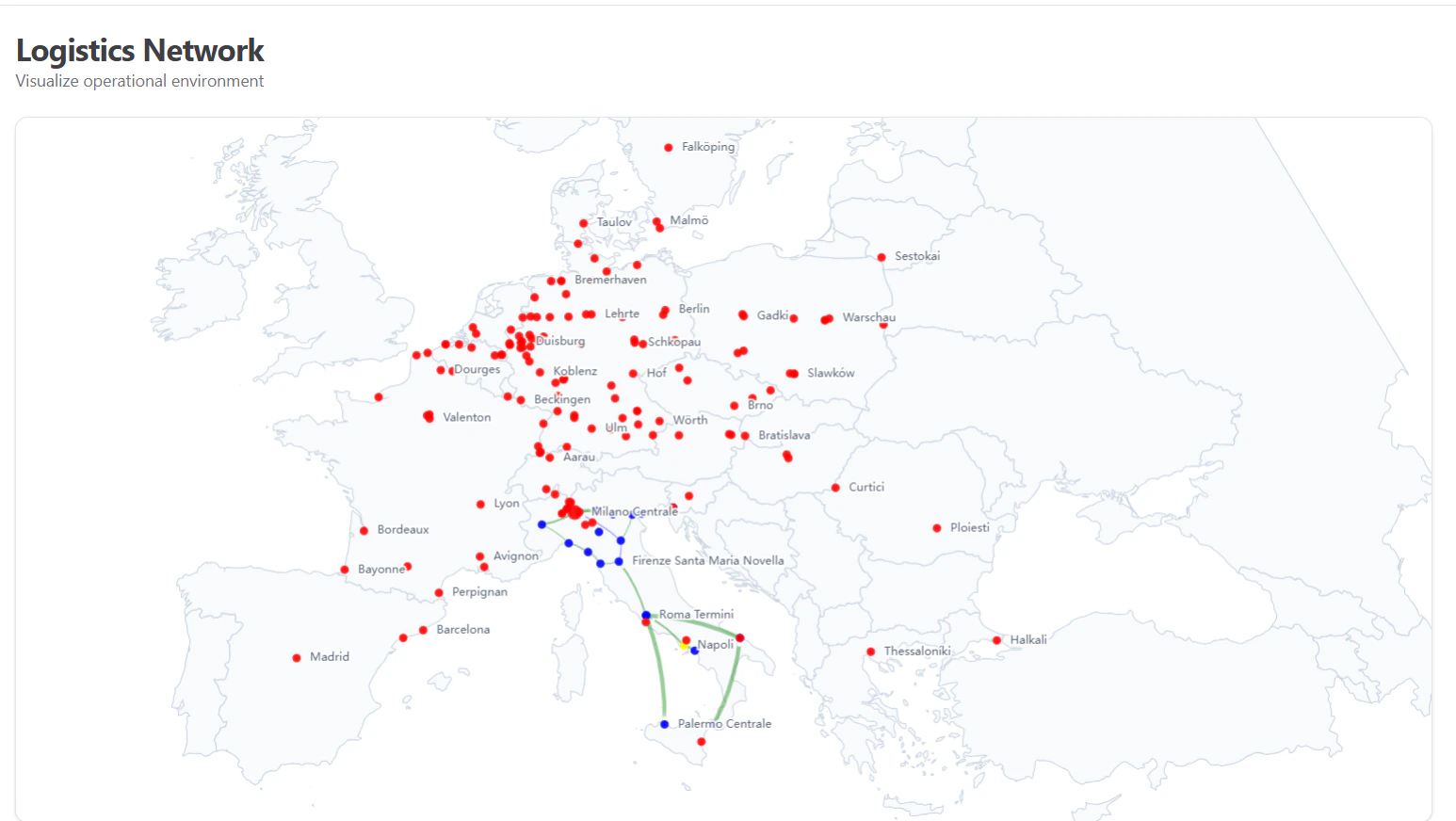
Real-time network map showing active traces and asset density.
2. Dynamic ETA Orchestration
By consuming real-time positioning from providers like Nexxiot and Savvy, the orchestration layer recalculates Estimated Time of Arrival (ETA) for subsequent legs of a journey.- Delay Propagation: If a rail leg is delayed, the system sends automated “Warning” tasks to the last-mile trucking partners via the Tasks module.
- Historical Benchmarking: Comparing actual transit times against the “Ideal” Trace definition to identify structural bottlenecks in the network.