1. Overview
The Nodes (Nodi) registry defines the physical and logical infrastructure of the network. It includes terminals, railway stations, maritime ports, and warehouses. Nodes are the foundational building blocks for Services, Traces, and Connections, acting as the start and end points for all logistics movements.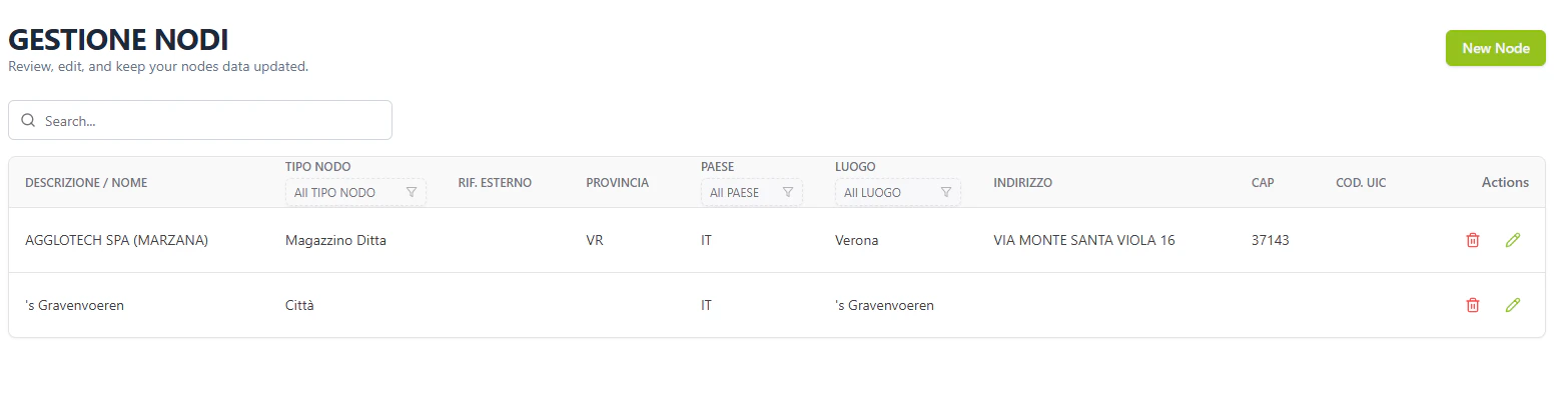
2. Core Functional Pillars
1. Geo-Location & Identification
Every node is mapped to international and technical standards:- LOCODE: The UN/LOCODE standard for international shipping, critical for EDI messaging.
- UIC Code: The 5-digit station code for rail operations (Codice UIC).
- GPS Coordinates: Precise Latitude and Longitude for map visualization in tracking modules.
2. Node Services (Servizi di nodo)
Defines the operational capabilities of a terminal.- Activity Types: Shunting, handling, washing, or customs.
- Service Providers: Links specific Subjects (Soggetti) as authorized contractors.
- Commercial Info: Stores contract and quotation references to automate cost estimation.
3. Network Connectivity (Collegamenti)
Builds the adjacency graph for the routing engine.- Mode-Specific: Defines links as Road, Rail, or Sea.
- Logistics Geometry: Stores technical distances (km) to calculate trip feasibility and estimated transit times.
4. Stakeholder Ownership
Every node is linked to its stakeholders:- Owner (Proprietario): The entity that owns the physical infrastructure.
- Operator (Gestore): The entity responsible for daily operations (Terminal Operator).
3. Propagation & Operational Logic
A Node is not just a static record; it drives the functional limits of the entire network.I. The Routing Engine Gateway
When creating a Design > Trace, the system filters valid endpoints based on nodes that have definedCollegamenti (Links). If a connection doesn’t exist in the Nodes registry, it cannot be used in a commercial Service.
II. Automated Milestone Triggering
Nodes marked asis_terminal=1 act as detection zones for the Monitoring module. When a GPS coordinate matches the node’s latitudine/longitudine (plus a defined geofence radius), the system automatically updates the trip status to Arrivato.
III. PCS Integration
Thetranscodifiche_id_terminal_pcs field is the technical key for EDI messaging. When a manifest is sent to a Port Community System, the system uses this ID to ensure the port’s software correctly identifies the destined terminal.
4. Data Connectivity & Flow
5. Field Mapping Reference
Registry View (Gestione Nodi)
Configuration Tabs (Form)
Anagrafica (Core Data)
- Primary:
descrizione(Required),id_tipo_nodo(Required). - Geography:
luogo(LOCODE Link),id_zona(Zone Group),indirizzo,cap. - Geo-Precision:
latitudine,longitudine(Driving GPS logic).
Servizi di Nodo (Cost Calculation Engine)
- Activity:
sn_id_tipo_attivita(e.g., Handling, Shunting). - Provider:
sn_id_fornitore(Linked to Soggetti). - Quotes:
sn_rif_contratto(Link to financial agreements).
Collegamenti (The Network Adjacency Matrix)
- Link Type:
co_tipo(Road/Rail/Sea). - Target Node:
co_luogo_collegato. - Metrics:
co_distanza(km) used for transit time estimations.
Transcodifiche (EDI Sync)
- EDI/CIM:
transcodifiche_edi,transcodifiche_cim. - External Hubs:
transcodifiche_id_terminal_pcs(Used for Port-to-System handshakes).