1. Overview
The Locations registry defines the geographic coordinates and operational boundaries of the network. It translates physical world addresses into logical entities used for routing, tracking, and reporting.2. Technical Field Mapping
UN/LOCODEs (Località)
The system uses the United Nations Code for Trade and Transport Locations as the primary geographic identifier.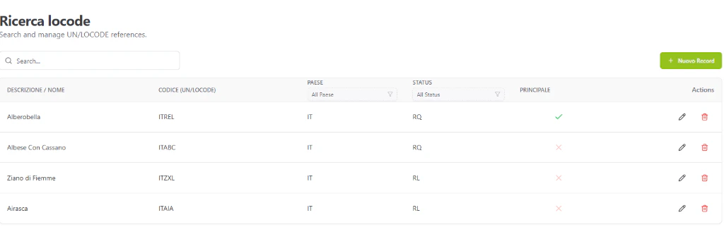
Ricerca locode: Search and manage UN/LOCODE references.
Zones (Zone)
Zones are logical clusters of Nodes used for reporting, security visibility, and operational grouping.3. Data Flow & Connectivity
Integration Logic
- Routing Hierarchy: A Node (e.g., Verona Quadrante Europa) is linked to a Location (e.g., Verona ITVRN) which belongs to a Zone (e.g., Corridor A).
- Filtering: Search bars throughout the system allow filtering by “Zona” to quickly narrow down a set of terminals or bookings.